Geographical view
Once the network has been created, it can be displayed on a geographical map.
All nodes are displayed at their exact location (they must have been created with a longitude and latitude) on the map. The icon of a node and the color of a link depend on their type.
Geographical display
There are three types of geographical displayed available.
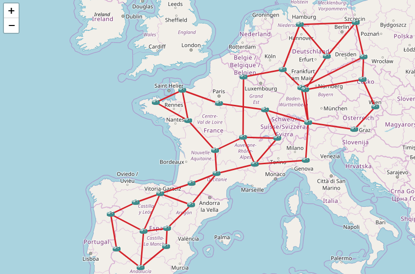
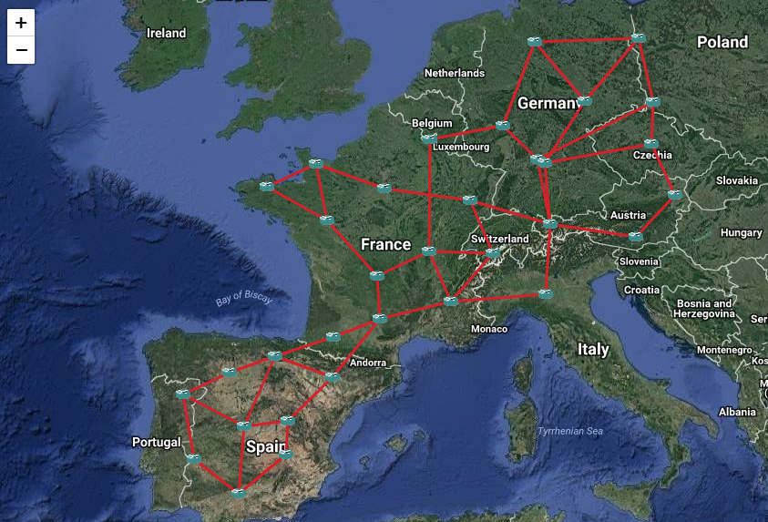
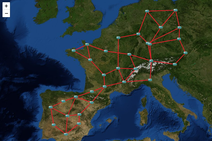
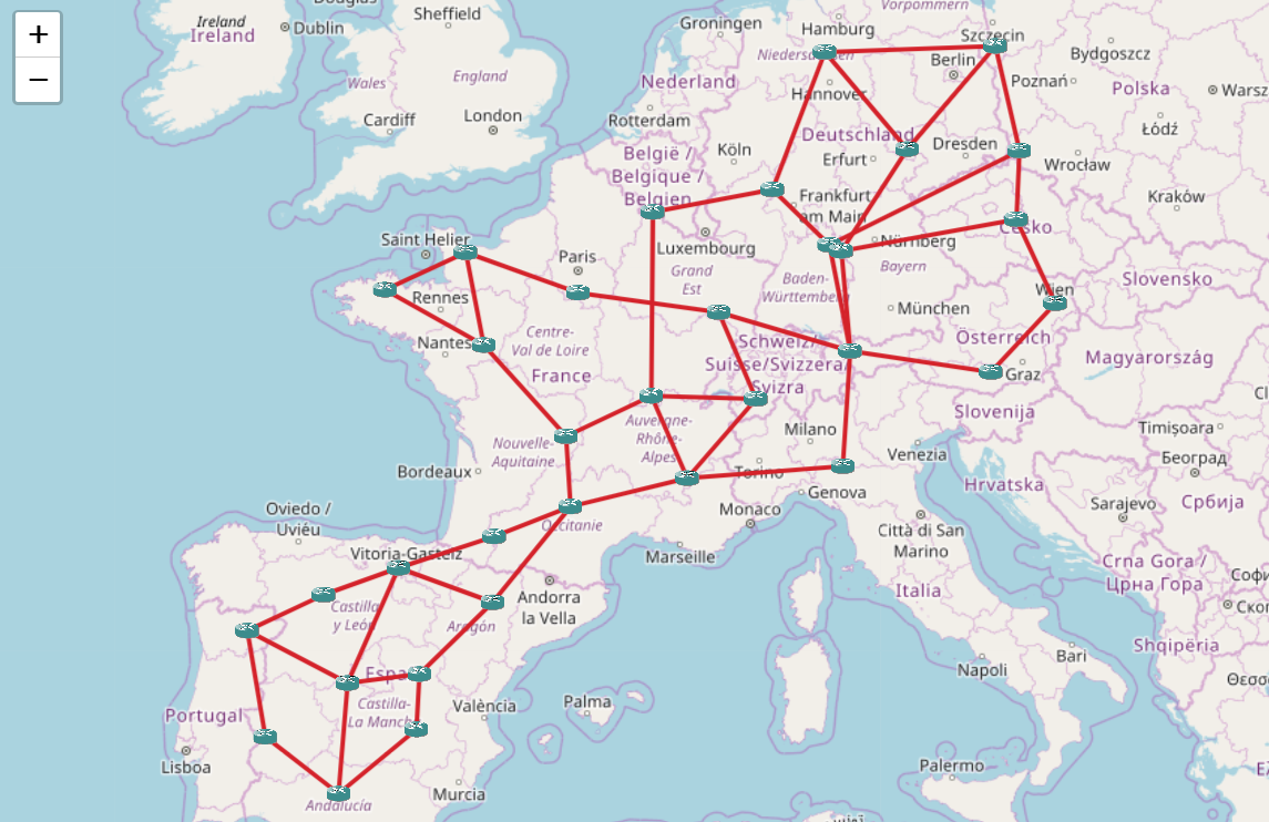
2D map
The classic 2D map is based on the Leaflet JavaScript library.
All nodes and links are displayed on a 2D representation of the Earth, based on the Google Mercator (EPSG:3857) projection.
The classic 2D map works well for small networks (less than 5000 nodes), when there are no colocated nodes (colocated nodes cannot be distinguished from one another).
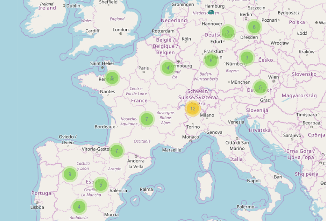
Clusterized 2D map
The clusterized 2D map is based on the Leaflet MarkerCluster JavaScript library. Nodes and links are displayed as clusters, which size depends on the zoom level.
The clusterized map works well for large networks (until 50000 nodes), and it supports colocated nodes. Clicking on a group of colocated nodes will expand the group.
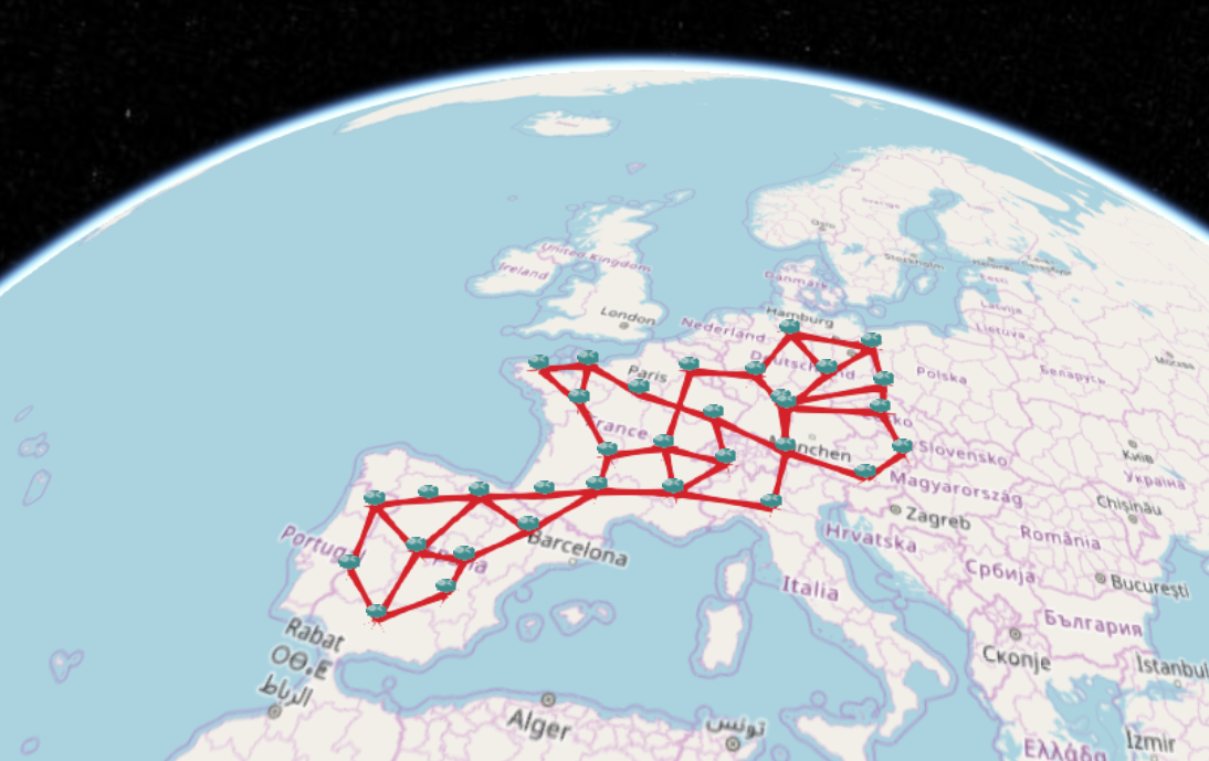
3D map
The 3D map is based on the WebGL-Earth JavaScript library (which itself uses Cesium) All nodes and links are displayed on a 3D representation of the Earth.
The 3D map works well for small networks (less than 500 nodes) with no colocated nodes.